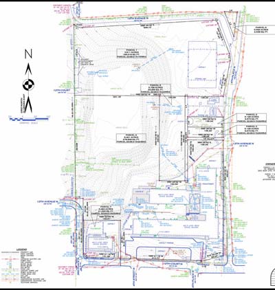
Our organization is structured in a way that enables a seamless flow of information from field, to office, to client. This approach allows us to deliver our survey projects on schedule and ensures that the required quality control occurs.
We can help you in any of the following areas and more:
Land Surveying Company serving the North Georgia Counties of:
Whitfield, Murray, Catoosa, Walker, Gordon and More.
Lowery & Associates Land Surveying Company registered in the states of:
Georgia, Alabama, Tennessee, Kentucky, Mississippi and North Carolina
 Lowery & Associates can help resolve a Boundary dispute in North Georgia. The boundary survey can help to identify property lines and any encroachments from one property onto another.
Click Here . .
 An Elevation Certificate is used to verify and document critical finished elevations of a structure to determine that structures eligibility for flood insurance.Click Here . .
 A Site Plan in North Georgia is often required to obtain a building permit. The requirements vary depending on the specific municipality.